Quick Answer: LiDAR (Light Detection and Ranging) uses laser pulses to measure distances with pinpoint accuracy, creating detailed 3D maps known as point clouds. By timing how long light takes to bounce back, we can capture the shape of landscapes, objects, and structures in stunning detail.
Shedding Light on LiDAR: How It Works in a Nutshell
LiDAR is a remote sensing technology that works a bit like shining a flashlight and timing how long the reflection takes to return—but much faster and more precise. It emits a laser pulse towards a target, then measures the time of flight it takes for that pulse to return to its sensor.
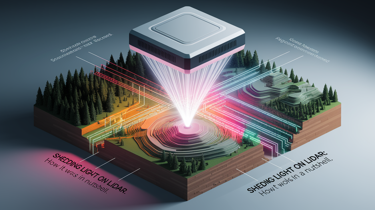
Because we know the constant speed of light, the distance to the target can be calculated using the formula: Distance = (Speed of Light × Time Elapsed) ÷ 2. This simple principle lets LiDAR map the surroundings accurately, similar to radar but using light waves instead of radio waves. You can explore a clear and concise outline of the method at YellowScan’s LiDAR principle explanation.
Core Components: Building a LiDAR System
Every LiDAR system is a well-orchestrated set of parts, each with a distinct role. The magic happens when these components work together:

- Laser emitter: Produces the rapid pulses of light, often in the infrared range, aimed at the target.
- Laser scanner: Directs the laser beam across the scene in precise patterns.
- Photodetector or optical sensor: Captures the reflected light signal.
- GPS receiver: Determines exact position during scanning.
- Inertial Measurement Unit (IMU): Records the device’s orientation and movement—crucial for accurate mapping.
- Timekeeping electronics: Ensure precise measurement of pulse travel times for accurate distance calculation.
The combination of these allows LiDAR sensors to capture highly detailed and geospatially accurate 3D data. For an in-depth discussion on integration of IMU and GPS, check out IBM’s breakdown of LiDAR components.
Scanning Modes: Airborne and Terrestrial LiDAR
LiDAR isn’t one-size-fits-all—it comes in flavors tailored for specific use cases:

- Airborne LiDAR: Mounted on planes, helicopters, or drones, scanning vast areas from above—ideal for topographic mapping or bathymetry.
- Terrestrial LiDAR: Operates from the ground, either static (tripod-mounted) for fixed scans, or mobile (on vehicles) for continuous data collection while moving.
Airborne systems give us sweeping views; terrestrial systems provide high detail on structures and terrain. You can learn more about these types and their practical uses from Archaeology Now’s LiDAR overview.
From Pulses to Point Clouds: Data Processing Steps
Once a LiDAR survey collects its millions of laser returns, there’s still a journey before we get a polished map or model:

- Cleaning: Remove noise or mismatched data points.
- Classification: Sort points into categories—ground, vegetation, buildings.
- Downsampling: Reduce data density while retaining detail, ensuring fast processing.
- File formatting: Output is often stored in LAS format for standard exchange of 3D point data.
This processing transforms raw returns into a usable, detailed representation of the environment. More detail on these steps can be found with NEON Science’s LiDAR basics guide.
Bright Applications: Where LiDAR Shines
The precision and versatility of LiDAR open doors to a dazzling range of uses:

- Mapping forests for biomass studies.
- Charting riverbeds and coastal seabeds (bathymetric LiDAR).
- Urban planning with accurate 3D models of cities.
- Guiding autonomous vehicles through complex environments.
- Revealing hidden archaeological structures beneath vegetation.
From measuring tree heights to designing safer roads, LiDAR’s light pulses illuminate both science and daily life.
Future Perspectives: What’s Next for LiDAR
LiDAR is getting faster, smaller, and smarter. Advances include:
- Non-repetitive scanning patterns: Boosting detail by varying pulse angles over time (more on scanning patterns here).
- Multi-return recording: Capturing reflections from multiple layers in one spot—for example, separating tree canopy from ground structures.
- Integration with AI: Automated recognition of objects, terrain, and changes in environments.
These innovations promise even richer and more efficient 3D mapping in future applications.
Wrapping Up: LiDAR’s Light on Tomorrow
LiDAR turns invisible beams into vivid, measurable 3D worlds. By combining accurate distance measurement, smart sensors, and sophisticated processing, it offers a unique window into our surroundings. Whether from the sky or the street, LiDAR continues to brighten our understanding of landscapes, cities, and hidden features—making the complex both visible and clear.